Tree and Vegetation Clearing Map User Guide
Information on this page is accurate at the time of publishing, however is subject to change as further information becomes available on the processes and responsibilities under the NSW Biodiversity Law Reforms.
The information available on the online map is a guide only and will change over time in line with changes to the Local Environmental Plan or other Planning Instruments.
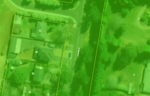
To assist you in lodging your Tree and Vegetation Clearing application with the correct Agency, you can use Council’s Tree and Vegetation Clearing Guide Map to locate your property and obtain specific information on who to contact and what application process may be required.
Five Simple Steps
Step 1
Launch the Tree and Vegetation Clearing Guide Map.
Step 2
Search for your property on the map by typing your address into the Find address or place search window located in the top left corner of the map and then clicking on the magnifying glass to search.
Tip: You can also use your mouse or the zoom tool buttons to move and zoom in on the map
Step 3
Click on the specific section of your property where the tree or vegetation clearing is proposed to reveal the Zone. information.
Step 4
Review the pop-up window for information on which agency will handle your application.
Step 5
Click on the more info link in the pop-up window for further information and next steps for the relevant agency.